0
Skip to Content
Chad Ajamian
Home
Infrared
Infrared
Analog
Aerial
Drone
IR Photojournalism
Photography
Photography
Hawkesbury River Floods
B&W Bushfires
COVID-19
Geographic
Instagram
Store
Chad Ajamian
Home
Infrared
Infrared
Analog
Aerial
Drone
IR Photojournalism
Photography
Photography
Hawkesbury River Floods
B&W Bushfires
COVID-19
Geographic
Instagram
Store
Home
Folder: Infrared
Folder: Photography
Store
Back
Infrared
Analog
Aerial
Drone
IR Photojournalism
Back
Photography
Hawkesbury River Floods
B&W Bushfires
COVID-19
Geographic
Instagram
20221015_DJIMavic2Pro_Kolari-16.jpg View fullsize
20221108_DroneIR_DurrasVaucluse-50.jpg View fullsize
20221015_DJIMavic2Pro_Kolari-20.jpg View fullsize
20221015_DJIMavic2Pro_Kolari-26.jpg View fullsize
20221015_DJIMavic2Pro_Kolari-4.jpg View fullsize
20221108_DroneIR_DurrasVaucluse-36.jpg View fullsize
20221114_DroneIR_BathurstFlood-5.jpg View fullsize
20221114_DroneIR_BathurstFlood-9.jpg View fullsize

Infrared Drone

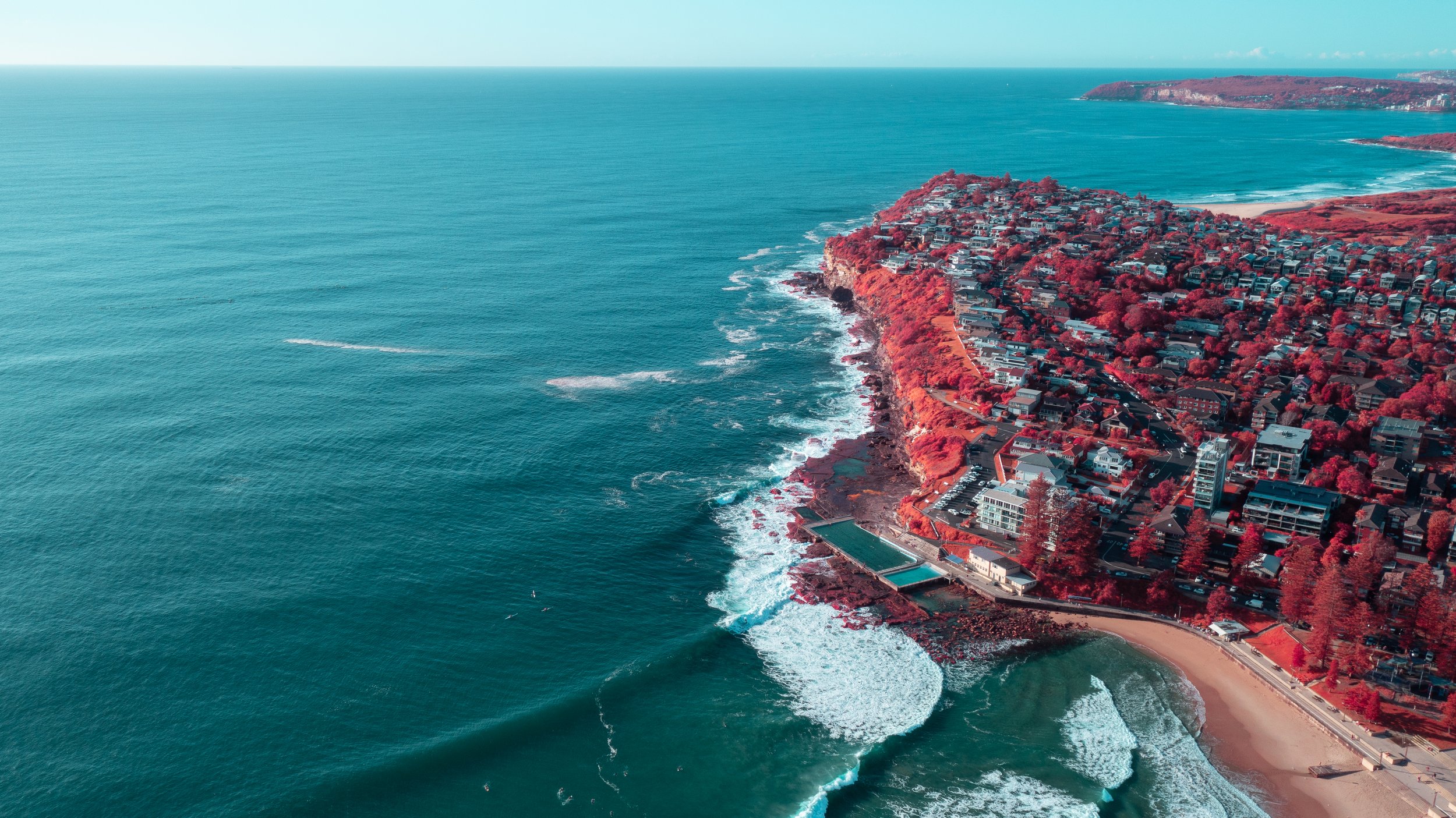
Near-infrared remotely piloted aerial imagery using a DJI Mavic Pro 2, with the camera self-modified to hyperspectral, and a IRChrome filter from Kolari Vision.

Infrared converted drones are being researched for their potential to be used in the precision agriculture industry to detect crop health and invasive species.


Modified DJI Mavic Pro 2 | Kolari Vision IRChrome


chad.ajamian@gmail.com
Instagram | LinkedIn | Flickr | 500px

20221015_DJIMavic2Pro_Kolari-16.jpg
20221108_DroneIR_DurrasVaucluse-50.jpg
20221015_DJIMavic2Pro_Kolari-20.jpg
20221015_DJIMavic2Pro_Kolari-26.jpg
20221015_DJIMavic2Pro_Kolari-4.jpg
20221108_DroneIR_DurrasVaucluse-36.jpg
20221114_DroneIR_BathurstFlood-5.jpg
20221114_DroneIR_BathurstFlood-9.jpg